Enable Increased Productivity and Efficiency With GPS Capability in Industrial Mobile Computing Solutions
 Chances are, you’re familiar with consumer GPS navigation systems built into many new vehicles at the factory—and widely available in the aftermarket. Such systems offer capabilities beyond basic navigation, which often include points of interest, real-time traffic reports, and speed-limit notification—just what you might want for a business trip or a family vacation. However, when GPS technology is built into mobile computers, it can offer the same familiar navigation, configured to meet business requirements—plus support additional productivity-enhancing applications.
What you’ll learn
- How GPS works.
- Specific uses for GPS to enhance transportation, logistics and field service operations.
- How GPS can operate in synergy with other technologies to enhance productivity and efficiency for mobile operations.
- Industrial mobile computer attributes critical to matching the requirements of GPS applications.
Understanding GPS
GPS is an acronym for the Global Positioning System, which is enabled by a network of U.S. Department of Defense satellites. The system operates fulltime and worldwide, providing service to the public with no fees. GPS receivers calculate geographic location from signals received from a minimum of three satellites. Additional satellite signals improve accuracy. Location, combined with additional information from roadmap databases and user-entered destination locations, enables receivers to calculate speed, direction, distance traveled, time and distance to destination, and more.
When integrated into a mobile computing platform, GPS can create synergy with other technologies, providing powerful, multifunctional solutions and, in some cases, enhancing applications already in use. For example, GPS information enables location-stamping of information captured by workers in the field—including barcode data, captured images or customer signatures—increasing the amount of frontline data you are able to track and use to improve operations and customer service.
Via wide-area networking technology (for example, GSM/GPRS), GPS-equipped mobile computers can provide real-time location information to an enterprise’s IT system—a valuable management resource to a wide range of businesses and agencies, including those with operations in route accounting, direct store delivery, trucking, parcel delivery and postal services, and field services.
Five GPS Applications To Benefit Your Mobile Operations
1. Turn-by-turn Navigation
The most familiar GPS application, turn-by-turn navigation, establishes current vehicle location and direction via GPS coordinates and mapping software. It dynamically determines the best route to any destination, provides turn-by-turn navigation instructions, and estimates arrival time. Turn-by-turn navigation brings important benefits. It can:
- Decrease lost driver time, helping to ensure on-time service and improved customer satisfaction. Drivers can provide accurate arrival times.
- Reduce fuel consumption and cost—less fuel wasted searching for locations or using inefficient routes.
- Improve route efficiency, allowing drivers to service more customers.
- Bring access to real-time traffic updates, helping drivers avoid congestion.
- Eliminate need for paper maps—with routes determined more quickly and safely.
- Enhance safety—voice prompts enable drivers to keep their eyes on the road.
2. Route Auditing (“bread-crumbingâ€)
In route auditing, GPS receivers capture the travel history of vehicles or personnel, creating “bread-crumb†trails of points along entire routes—information which can be easily stored for analysis at any time. This enables you to:
- Document and verify all stops made on a route.
- Identify opportunities for enhanced efficiency by analyzing routes taken.
- Reduce un-necessary fuel usage and vehicle wear.
- Add more stops per day by streamlining driver travel.
- Identify and eliminate out-of-route travel.
3. Geo-coding
Geo-coding logs the location of assets and/or the execution of a service. This information can be easy retrieved at any time. With it, you can:
- Validate that a service was rendered.
- Archive the location of assets placed in the field.
- Identify landmarks or points of commerce.
- Initiate a secondary business process with geo-coded items.
- Automatically trigger an activity when in proximity to a specified location.
4. Geo-fencing
Geo-fencing creates a virtual boundary around a geographic area. That makes it simple to track assets carrying a GPS device when they enter or exit that boundary. This can be recognized as a traceable event, recording the date and time as well as the current location of the asset. As a result, you can:
- Accurately monitor travel inside or outside of a pre-determined area.
- Automatically keep assets within or outside of an area.
- Trigger a business process when an asset crosses the fence line, such as providing specific delivery instructions, tracking time spent outside of the area, or sending route deviation notification to a dispatch center .
5. Field Asset Tracking and Route Optimization
In this application, the GPS receiver identifies an asset’s location (Automated Vehicle Location, or AVL). The mobile device’s GPRS radio automatically broadcasts information at fixed intervals via a cellular wireless network. Dispatchers receive and manage continually updated locations of vehicles or personnel on a computer-based map at a central location. This solution provides:
- Real-time visibility of field assets, enabling you to deploy them more efficiently.
- The ability to coordinate quicker responses to calls or tasks.
- Optimal routing of drivers based on their proximity to the service location.
Ensure Maximum Usability And Productivity By Selecting The Right Industrial Mobile Computer For GPS Applications
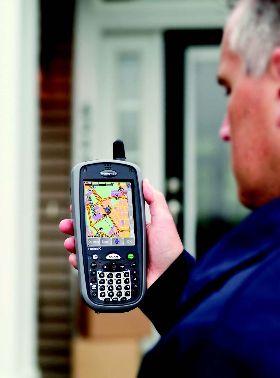
Equipping a mobile computer with integrated GPS offers significant advantages over separate solutions for GPS capability and mobile computing. A single-device solution means less maintenance, and the inherent ability to use multiple technologies in combination—GSM/GPRS with GPS, imaging technology with GPS, and more. It also allows the operator to use GPS away from the vehicle – unlike solutions that are hard-mounted or direct-wired – enabling users to expand their use of GPS functionality to anywhere they bring the mobile device.
Making the most of these synergetic technologies requires choosing a device with the right combination of attributes for effective use in your application—GPS capability alone isn’t enough. Considering these key factors will help ensure you chose the right solution to meet your needs:
- • Durability and Reliability—GPS technology is proliferating into many types of mobile devices, including consumer grade cell phones and PDAs. Industrial-grade applications such as parcel delivery, field service and route accounting benefit from a solution designed specifically to meet the demands of that user environment. Features should include industrial drop specifications and environmental sealing, as well as ruggedized interface components such as the keypad, connectors and touchscreen. This will help ensure you get all of the functionality your operations require with the confidence that the solution will endure the heavy use requirements of your application.
- Power Management—More functionality means more power use. Choose a GPS-enabled solution that is built to support full-day use by your operators across all functions without requiring frequent battery changes or recharging. This is especially critical if the device will spend most of its time in the hands of the user—not docked in a charging cradle or in the truck cab.
- GPS Usability—Enabling your mobile workers with GPS opens up new usability requirements for the device you provide to them. Clear screen viewability—especially for on-the-road applications—is critical, and clear audio quality for voice-guided instructions is essential.
- Versatile Data-Capture Capability—Choosing a solution with imaging-based data capture enables you to capture more and different frontline data (including barcoded information, digital photos and signatures) and use it with your GPS-enabled application—giving you the flexibility to do more with your technology solution.
- Effective GPS Integration—GPS can be integrated into a mobile solution in multiple ways including via Bluetooth® wireless connection, a snap-on module or a GPS radio that is truly integrated into the device design. Choosing a solution that is
100 percent integrated eliminates the need for a secondary device connection and removes the connectivity barriers that can result from an add-on solution. It also means you have fewer components to manage and monitor.
Leverage GPS Technology to Gain The Productivity and Efficiency That Will Make Your Business More Competitive
GPS is a powerful tool for creating new efficiency and improving business operations through a number of highly developed, proven applications. It can get you where you want to go—literally and figuratively. When integrated into mobile computers with advanced imaging, comprehensive wireless communication options, and field-ready durability, GPS technology gives enterprises new opportunities for streamlining their operations, decrease operating expenses and improving customer service.